 vesseltracker.com
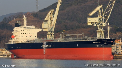
 ALLIED ATLANTIC
Current Status
Where is the vessel?
ALLIED ATLANTIC is currently in 129 nm W of Girard, based on AIS data received less than 1h ago.
Latest AIS update:
Current position: 33.16516° N, 45.22178° W (129 nm W of Girard)
Average speed (last 7 days): Loading…
Average speed (last 30 days): Loading…
Vessel profile: ALLIED ATLANTIC is a Tanker with dimensions m x m.
This page combines live AIS, route history, probable destination signals, nearby traffic, and port activity for practical vessel monitoring.
The current position of vessel ALLIED ATLANTIC is 33.16516 lat / -45.22178 lng. Updated: 2026-05-17 22:12:28 UTCCurrently sailing under the flag of Marshall Islands ![]()
Details:
Live Vessel ALLIED ATLANTIC Analytics (details, animations, etc.)
Recent AIS points (UTC):
2026-05-17 19:35:42 UTC · 33.20801, -44.60292 · SOG 12 kn · COG 264°2026-05-17 19:50:27 UTC · 33.20193, -44.66130 · SOG 12 kn · COG 264°
2026-05-17 21:49:50 UTC · 33.16817, -45.13141 · SOG 12.1 kn · COG 266°
2026-05-17 22:12:28 UTC · 33.16516, -45.22178 · SOG 12.2 kn · COG 264°