 vesseltracker.com
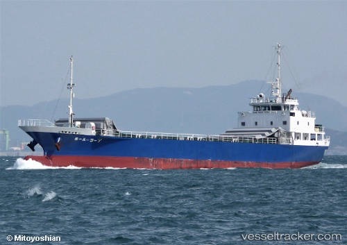
A Coop No.1
Current StatusWhere is the vessel?
A Coop No.1 is currently in Near Hososima Ko, based on AIS data received less than 1h ago.
Latest AIS update:
Current position: 32.48618° N, 131.78423° E (Near Hososima Ko)
Average speed (last 7 days): Loading…
Average speed (last 30 days): Loading…
Vessel profile: A Coop No.1 is a General Cargo Ship with dimensions 12m x 74m.
This page combines live AIS, route history, probable destination signals, nearby traffic, and port activity for practical vessel monitoring.
The current position of vessel A Coop No.1 is 32.48618 lat / 131.78423 lng. Updated: 2026-05-17 05:36:03 UTCNearest reference points:
- Near Hyuga
- 11 nm E of SAEKI
- 19 nm SW of Sukumowan
Details:
Live Vessel A Coop No.1 Analytics (details, animations, etc.)
Recent AIS points (UTC):
2026-05-16 01:08:10 UTC · 32.43552, 131.64948 · SOG 0 kn · COG 119°2026-05-17 02:56:21 UTC · 32.43608, 131.64827 · SOG 0 kn · COG 119°
2026-05-17 02:56:21 UTC · 32.43608, 131.64827 · SOG 0 kn · COG 119°
2026-05-17 05:36:03 UTC · 32.48618, 131.78423 · SOG 13.3 kn · COG 26°