 vesseltracker.com
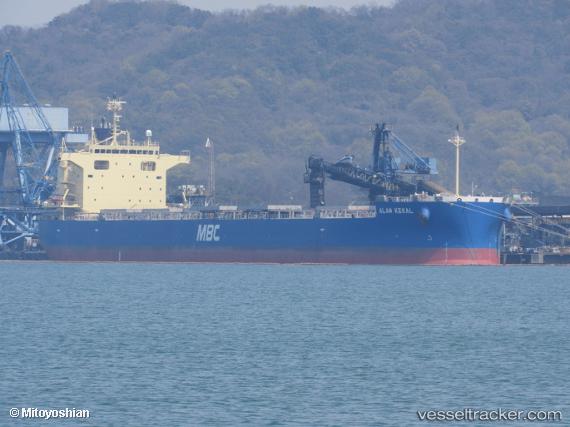
 TRITON CENTURY
Current Status
Where is the vessel?
TRITON CENTURY is currently in 381 nm N of Parelhas, based on AIS data received less than 1h ago.
Latest AIS update:
Current position: 12.98192° N, 37.49592° W (381 nm N of Parelhas)
Average speed (last 7 days): Loading…
Average speed (last 30 days): Loading…
Vessel profile: TRITON CENTURY is a Cargo with dimensions m x m.
This page combines live AIS, route history, probable destination signals, nearby traffic, and port activity for practical vessel monitoring.
The current position of vessel TRITON CENTURY is 12.98192 lat / -37.49592 lng. Updated: 2026-05-17 03:30:22 UTCNearest reference points:
- Open sea, approx. 402 nm off the nearest listed port
- Open sea, approx. 403 nm off the nearest listed port
- Open sea (no nearby ports in database)
Currently sailing under the flag of Panama ![]()
Details:
Live Vessel TRITON CENTURY Analytics (details, animations, etc.)
Recent AIS points (UTC):
2026-05-16 23:56:59 UTC · 13.36110, -37.92636 · SOG 9.2 kn · COG 120°2026-05-17 01:40:20 UTC · 13.18610, -37.71489 · SOG 9.6 kn · COG 130°
2026-05-17 01:40:20 UTC · 13.18610, -37.71489 · SOG 9.6 kn · COG 130°
2026-05-17 03:30:22 UTC · 12.98192, -37.49592 · SOG 9.6 kn · COG 131°