 vesseltracker.com
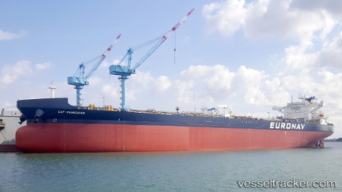
Cap Pembroke
Current StatusWhere is the vessel?
Cap Pembroke is currently in Near ARANSAS PASS, based on AIS data received about 1h ago.
Latest AIS update:
Current position: 27.81833° N, 97.20833° W (Near ARANSAS PASS)
Average speed (last 7 days): Loading…
Average speed (last 30 days): Loading…
Vessel profile: Cap Pembroke is a Crude Oil Tanker with dimensions 48m x 277m.
This page combines live AIS, route history, probable destination signals, nearby traffic, and port activity for practical vessel monitoring.
The current position of vessel Cap Pembroke is 27.81833 lat / -97.20833 lng. Updated: 2026-05-17 07:52:19 UTCNearest reference points:
- Near ARANSAS PASS
- Near Aransas Pass
- Near PORT ARANSAS
Details:
Live Vessel Cap Pembroke Analytics (details, animations, etc.)
Recent AIS points (UTC):
2026-05-17 04:48:23 UTC · 27.81842, -97.20944 · SOG 0 kn · COG 20°2026-05-17 06:24:25 UTC · 27.81841, -97.20944 · SOG 0 kn · COG 20°
2026-05-17 07:52:19 UTC · 27.81833, -97.20833 · SOG 0 kn · COG -1°
2026-05-17 07:52:19 UTC · 27.81833, -97.20833 · SOG 0 kn · COG -1°