 vesseltracker.com
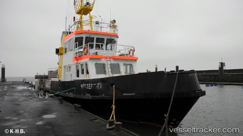
 Ruestersiel
Current Status
Where is the vessel?
Ruestersiel is currently in Near Horumersiel, based on AIS data received less than 1h ago.
Latest AIS update:
Current position: 53.77169° N, 8.09279° E (Near Horumersiel)
Average speed (last 7 days): Loading…
Average speed (last 30 days): Loading…
Vessel profile: Ruestersiel is a Research Vessel with dimensions 34m x 8m.
This page combines live AIS, route history, probable destination signals, nearby traffic, and port activity for practical vessel monitoring.
The current position of vessel Ruestersiel is 53.77169 lat / 8.09279 lng. Updated: 2026-04-29 09:28:13 UTCNearest reference points:
- Near HOOKSIEL
- Near Horumersiel
- 10 nm E of Wangerooge
Currently sailing under the flag of Germany ![]()
Details:
Live Vessel Ruestersiel Analytics (details, animations, etc.)
Recent AIS points (UTC):
2026-04-29 05:49:03 UTC · 53.57647, 8.17120 · SOG 10.3 kn · COG 349°2026-04-29 07:47:47 UTC · 53.77172, 8.09278 · SOG 0 kn · COG 22°
2026-04-29 07:54:24 UTC · 53.77172, 8.09278 · SOG 0 kn · COG 23°
2026-04-29 09:28:13 UTC · 53.77169, 8.09279 · SOG 0.1 kn · COG 24°