 vesseltracker.com
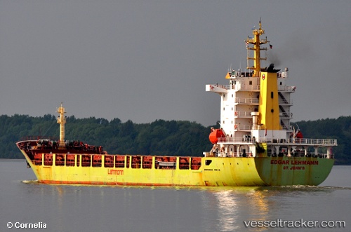
Annetta
Current StatusWhere is the vessel?
Annetta is currently in 21 nm N of Sant Mateu D'Albarca, based on AIS data received about 1h ago.
Latest AIS update:
Current position: 39.36134° N, 1.19645° E (21 nm N of Sant Mateu D'Albarca)
Average speed (last 7 days): Loading…
Average speed (last 30 days): Loading…
Vessel profile: Annetta is a Multi Purpose Carrier with dimensions 20m x 140m.
This page combines live AIS, route history, probable destination signals, nearby traffic, and port activity for practical vessel monitoring.
The current position of vessel Annetta is 39.36134 lat / 1.19645 lng. Updated: 2026-04-15 17:21:51 UTCNearest reference points:
- 18 nm NW of Sant Antoni de Portmany
- Near SANT ANTONI
- Near Sant Antoni de Portmany
Details:
Live Vessel Annetta Analytics (details, animations, etc.)
Recent AIS points (UTC):
2026-04-15 12:13:42 UTC · 39.57781, 0.09573 · SOG 10.5 kn · COG 103°2026-04-15 14:08:02 UTC · 39.50298, 0.50069 · SOG 9.8 kn · COG 109°
2026-04-15 15:48:02 UTC · 39.42449, 0.85170 · SOG 10.3 kn · COG 101°
2026-04-15 17:21:51 UTC · 39.36134, 1.19645 · SOG 10.6 kn · COG 102°