 vesseltracker.com
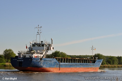
Vaagsund
Current StatusWhere is the vessel?
Vaagsund is currently in Near Grøtavær, based on AIS data received about 2h ago.
Latest AIS update:
Current position: 68.90877° N, 16.28786° E (Near Grøtavær)
Average speed (last 7 days): Loading…
Average speed (last 30 days): Loading…
Vessel profile: Vaagsund is a Fishing Support Vessel with dimensions 12m x 74m.
This page combines live AIS, route history, probable destination signals, nearby traffic, and port activity for practical vessel monitoring.
The current position of vessel Vaagsund is 68.90877 lat / 16.28786 lng. Updated: 2026-04-24 07:38:45 UTCNearest reference points:
- Near Harstad
- Near Skrolsvik
- Near Sigerfjord
Details:
Live Vessel Vaagsund Analytics (details, animations, etc.)
Recent AIS points (UTC):
2026-04-24 04:31:54 UTC · 68.85748, 16.09108 · SOG 9.1 kn · COG 29°2026-04-24 05:54:24 UTC · 68.86611, 16.40114 · SOG 0 kn · COG 9°
2026-04-24 07:04:04 UTC · 68.88039, 16.37449 · SOG 9.7 kn · COG 322°
2026-04-24 07:38:45 UTC · 68.90877, 16.28786 · SOG 0 kn · COG 4°