 vesseltracker.com
 KARLICA
Current Status
Where is the vessel?
KARLICA is currently in 27 nm S of Cornwall, based on AIS data received about 13h ago.
Latest AIS update:
Current position: 49.61062° N, 3.95188° W (27 nm S of Cornwall)
Average speed (last 7 days): Loading…
Average speed (last 30 days): Loading…
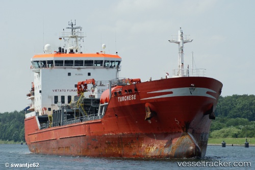
Vessel profile: KARLICA is a Oil/Chemical Tanker with dimensions 136.07m x 20.4m.
This page combines live AIS, route history, probable destination signals, nearby traffic, and port activity for practical vessel monitoring.
The current position of vessel KARLICA is 49.61062 lat / -3.95188 lng. Updated: 2026-04-10 08:05:53 UTCNearest reference points:
- 27 nm N of Verzy
- 12 nm S of Cornwall
- Near Verzy
Currently sailing under the flag of Turkey ![]()
KARLICA built in 2000 year
Deadweight:
12000 tDetails:
Live Vessel KARLICA Analytics (details, animations, etc.)
Recent AIS points (UTC):
2026-04-10 02:37:02 UTC · 50.04255, -2.58534 · SOG 9.5 kn · COG 255°2026-04-10 04:22:21 UTC · 49.96402, -3.04656 · SOG 11 kn · COG 240°
2026-04-10 05:22:22 UTC · 49.86939, -3.30225 · SOG 11.3 kn · COG 240°
2026-04-10 08:05:53 UTC · 49.61062, -3.95188 · SOG 10 kn · COG 237°