 vesseltracker.com
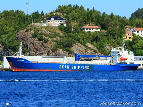
Find the position of the vessel Scan Fjord on the map. The latter are known coordinates and path.
marine traffic ship tracker show on live map
The current position of vessel Scan Fjord is 64.01210 lat / 11.46669 lng. Updated: 2025-10-30 13:12:18 UTCCurrently sailing under the flag of Barbados
Scan Fjord built in 1981 year
Deadweight:
3319 tDetails:
Last coordinates of the vessel:
UTC, 64.01211, 11.46669, course: 142, speed: 0UTC, 64.01211, 11.46669, course: 142, speed: 0
UTC, 64.01211, 11.46673, course: 142, speed: 0
2025-10-30 13:12:18 UTC, 64.01210, 11.46669, course: 142, speed: 0