 vesseltracker.com
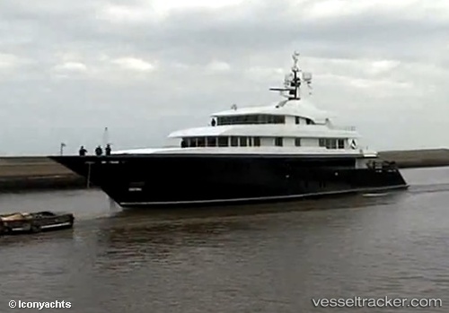
Vessel Icon IMO: 1010246, MMSI: 319124900 Service Ship
UTC, 18.46666, -64.57500, course: -1, speed: 0
UTC, 18.46642, -64.57558, course: 116, speed: 0
2026-02-02 16:37:47 UTC, 18.35484, -64.30625, course: 102, speed: 12.1
Live AIS position:
UTC. Near Spanish Town),
updated 2026-02-02 16:37:47 UTC.
Find the position of the vessel Icon on the map. The latter are known coordinates and path.
marine traffic ship tracker show on live map
The current position of vessel Icon is 18.35484 lat / -64.30625 lng. Updated: 2026-02-02 16:37:47 UTCDetails:
Last coordinates of the vessel:
UTC, 18.46657, -64.57542, course: 153, speed: 0.1UTC, 18.46666, -64.57500, course: -1, speed: 0
UTC, 18.46642, -64.57558, course: 116, speed: 0
2026-02-02 16:37:47 UTC, 18.35484, -64.30625, course: 102, speed: 12.1