 vesseltracker.com
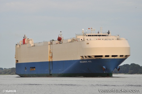
Progress Ace
Current StatusWhere is the vessel?
Progress Ace is currently in 45 nm SE of Svenica, based on AIS data received less than 1h ago.
Latest AIS update:
Current position: 45.36651° N, 152.89932° E (45 nm SE of Svenica)
Average speed (last 7 days): Loading…
Average speed (last 30 days): Loading…
Vessel profile: Progress Ace is a Vehicles Carrier with dimensions 32m x 200m.
This page combines live AIS, route history, probable destination signals, nearby traffic, and port activity for practical vessel monitoring.
The current position of vessel Progress Ace is 45.36651 lat / 152.89932 lng. Updated: 2026-05-15 15:37:48 UTCDetails:
Live Vessel Progress Ace Analytics (details, animations, etc.)
Recent AIS points (UTC):
2026-05-15 11:50:45 UTC · 44.95815, 151.69592 · SOG 15.5 kn · COG 64°2026-05-15 13:40:34 UTC · 45.15850, 152.28278 · SOG 15 kn · COG 65°
2026-05-15 14:02:06 UTC · 45.19566, 152.39499 · SOG 14.4 kn · COG 62°
2026-05-15 15:37:48 UTC · 45.36651, 152.89932 · SOG 15.1 kn · COG 65°