 vesseltracker.com
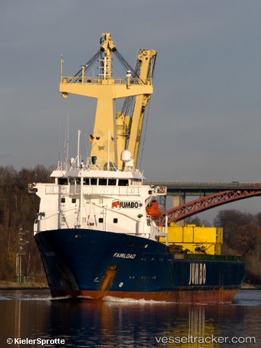
 ROMAN E
Current Status
Where is the vessel?
ROMAN E is currently in Near Jeddah, based on AIS data received about 4h ago.
Latest AIS update:
Current position: 21.42426° N, 39.08493° E (Near Jeddah)
Average speed (last 7 days): Loading…
Average speed (last 30 days): Loading…
Vessel profile: ROMAN E is a Heavy Load Carrier with dimensions 18m x 95m.
This page combines live AIS, route history, probable destination signals, nearby traffic, and port activity for practical vessel monitoring.
The current position of vessel ROMAN E is 21.42426 lat / 39.08493 lng. Updated: 2026-04-16 15:26:38 UTCNearest reference points:
- Near Jeddah
- 10 nm SW of Jeddah
- Near Tusdeer Free Zone
Currently sailing under the flag of Panama ![]()
ROMAN E built in 1995 year
Deadweight:
5158 tDetails:
Live Vessel ROMAN E Analytics (details, animations, etc.)
Recent AIS points (UTC):
2026-04-16 09:53:39 UTC · 21.42354, 39.08524 · SOG 0.1 kn · COG 176°2026-04-16 11:17:38 UTC · 21.42357, 39.08539 · SOG 0 kn · COG 171°
2026-04-16 13:38:39 UTC · 21.42419, 39.08530 · SOG 0.1 kn · COG 178°
2026-04-16 15:26:38 UTC · 21.42426, 39.08493 · SOG 0.2 kn · COG 189°