 vesseltracker.com
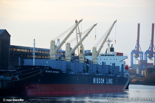
Bunun Infinity
Current StatusWhere is the vessel?
Bunun Infinity is currently in 227 nm SE of Santa Venera, based on AIS data received about 1h ago.
Latest AIS update:
Current position: 33.59525° N, 147.07040° E (227 nm SE of Santa Venera)
Average speed (last 7 days): Loading…
Average speed (last 30 days): Loading…
Vessel profile: Bunun Infinity is a Bulk Carrier with dimensions 29m x 179m.
This page combines live AIS, route history, probable destination signals, nearby traffic, and port activity for practical vessel monitoring.
The current position of vessel Bunun Infinity is 33.59525 lat / 147.07040 lng. Updated: 2026-04-22 20:11:42 UTCNearest reference points:
- Open sea, approx. 400 nm off the nearest listed port
- Open sea, approx. 409 nm off the nearest listed port
- Open sea, approx. 413 nm off the nearest listed port
Details:
Live Vessel Bunun Infinity Analytics (details, animations, etc.)
Recent AIS points (UTC):
2026-04-22 16:14:06 UTC · 33.46178, 148.09579 · SOG 12.5 kn · COG 279°2026-04-22 17:18:54 UTC · 33.49446, 147.82829 · SOG 12.8 kn · COG 280°
2026-04-22 19:58:24 UTC · 33.58758, 147.13025 · SOG 13.6 kn · COG 277°
2026-04-22 20:11:42 UTC · 33.59525, 147.07040 · SOG 13.8 kn · COG 276°