 vesseltracker.com
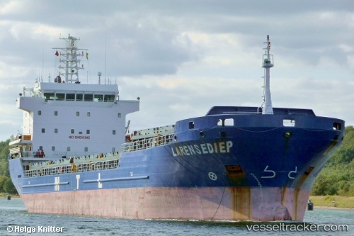
 Gunce Akay
Current Status
Where is the vessel?
Gunce Akay is currently in 16 nm S of Ambarli, based on AIS data received about 1d ago.
Latest AIS update:
Current position: 40.71446° N, 28.57074° E (16 nm S of Ambarli)
Average speed (last 7 days): Loading…
Average speed (last 30 days): Loading…
Vessel profile: Gunce Akay is a General Cargo Ship with dimensions 108m x 18m.
This page combines live AIS, route history, probable destination signals, nearby traffic, and port activity for practical vessel monitoring.
The current position of vessel Gunce Akay is 40.71446 lat / 28.57074 lng. Updated: 2026-04-10 07:41:44 UTCNearest reference points:
- 16 nm S of Kumport
- Near Gürpinar
- Near Ambarli
Currently sailing under the flag of Panama ![]()
Gunce Akay built in 2007 year
Deadweight:
7776 tDetails:
Live Vessel Gunce Akay Analytics (details, animations, etc.)
Recent AIS points (UTC):
2026-04-10 02:06:08 UTC · 40.65486, 27.45019 · SOG 9.1 kn · COG -1°2026-04-10 04:00:22 UTC · 40.71419, 27.82216 · SOG 9.1 kn · COG -1°
2026-04-10 05:25:29 UTC · 40.70970, 28.11642 · SOG 9.3 kn · COG -1°
2026-04-10 07:41:44 UTC · 40.71446, 28.57074 · SOG 9.5 kn · COG 92°