 vesseltracker.com
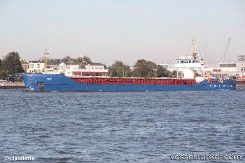
Vessel Ivy 1 IMO: 8504284, MMSI: 374911000 General Cargo Ship
UTC, 40.87232, 29.16720, course: 268, speed: 0
UTC, 40.87197, 29.16724, course: 292, speed: 0
2026-03-02 12:24:57 UTC, 40.87169, 29.16702, course: 322, speed: 0
Live AIS position:
UTC. Near Maltepe),
updated 2026-03-02 12:24:57 UTC.
Find the position of the vessel Ivy 1 on the map. The latter are known coordinates and path.
marine traffic ship tracker show on live map
The current position of vessel Ivy 1 is 40.87169 lat / 29.16702 lng. Updated: 2026-03-02 12:24:57 UTCCurrently sailing under the flag of Panama
Ivy 1 built in 1985 year
Deadweight:
3030 tDetails:
Last coordinates of the vessel:
UTC, 40.87211, 29.16545, course: -1, speed: 0UTC, 40.87232, 29.16720, course: 268, speed: 0
UTC, 40.87197, 29.16724, course: 292, speed: 0
2026-03-02 12:24:57 UTC, 40.87169, 29.16702, course: 322, speed: 0