 vesseltracker.com
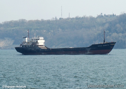
Vessel '511100448' IMO: 7396630, MMSI: 511100448
UTC, 33.13788, 33.98497, course: 306, speed: 9.7
UTC, 33.19654, 33.88454, course: 304, speed: 10.2
2026-01-15 17:50:16 UTC, 33.19654, 33.88454, course: 304, speed: 10.2
Live AIS position:
UTC. 60 nm NW of Haifa Granaries),
updated 2026-01-15 17:50:16 UTC.
Find the position of the vessel '511100448' on the map. The latter are known coordinates and path.
marine traffic ship tracker show on live map
The current position of vessel '511100448' is 33.19654 lat / 33.88454 lng. Updated: 2026-01-15 17:50:16 UTCDetails:
Last coordinates of the vessel:
UTC, 33.04070, 34.14287, course: 305, speed: 9.3UTC, 33.13788, 33.98497, course: 306, speed: 9.7
UTC, 33.19654, 33.88454, course: 304, speed: 10.2
2026-01-15 17:50:16 UTC, 33.19654, 33.88454, course: 304, speed: 10.2