 vesseltracker.com
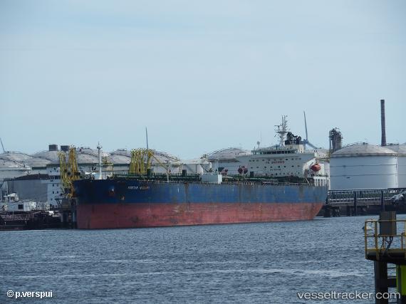
 AMI
AMI
Current Status
Where is the vessel?
AMI is currently in Near CALA DEL FORTE, based on AIS data received less than 1h ago.
Latest AIS update:
Current position: 43.78897° N, 7.59990° E (Near CALA DEL FORTE)
Average speed (last 7 days): Loading…
Average speed (last 30 days): Loading…
Vessel profile: AMI is a Crude Oil Tanker with dimensions m x m.
This page combines live AIS, route history, probable destination signals, nearby traffic, and port activity for practical vessel monitoring.
The current position of vessel AMI is 43.78897 lat / 7.59990 lng. Updated: 2026-04-24 07:36:26 UTCNearest reference points:
- Near SANREMO
- Near Monaco
- Near Monte-Carlo
Currently sailing under the flag of Cook Islands ![]()
Details:
Live Vessel AMI Analytics (details, animations, etc.)
Recent AIS points (UTC):
2026-04-24 04:29:10 UTC · 43.78892, 7.59990 · SOG 0 kn · COG -1°2026-04-24 05:51:56 UTC · 43.78895, 7.59990 · SOG 0 kn · COG -1°
2026-04-24 06:57:47 UTC · 43.78892, 7.59992 · SOG 0 kn · COG -1°
2026-04-24 07:36:26 UTC · 43.78897, 7.59990 · SOG 0 kn · COG -1°