 vesseltracker.com
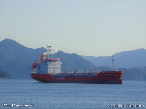
 Mt.sinar Morotai
Current Status
Where is the vessel?
Mt.sinar Morotai is currently in 41 nm E of Kisaran, based on AIS data received about 2h ago.
Latest AIS update:
Current position: 3.17609° N, 100.27602° E (41 nm E of Kisaran)
Average speed (last 7 days): Loading…
Average speed (last 30 days): Loading…
Vessel profile: Mt.sinar Morotai is a Chemical Oil Products Tanker with dimensions 95m x 15m.
This page combines live AIS, route history, probable destination signals, nearby traffic, and port activity for practical vessel monitoring.
The current position of vessel Mt.sinar Morotai is 3.17609 lat / 100.27602 lng. Updated: 2026-05-02 13:44:32 UTCNearest reference points:
- 21 nm SW of Pulau Indah
- Near Westport/Port Klang
- 11 nm W of Pangkur
Currently sailing under the flag of Indonesia ![]()
Details:
Live Vessel Mt.sinar Morotai Analytics (details, animations, etc.)
Recent AIS points (UTC):
2026-05-02 10:22:40 UTC · 2.88333, 100.74667 · SOG 8 kn · COG -1°2026-05-02 12:10:40 UTC · 3.03500, 100.51333 · SOG 10 kn · COG -1°
2026-05-02 13:22:40 UTC · 3.14167, 100.33167 · SOG 10 kn · COG -1°
2026-05-02 13:44:32 UTC · 3.17609, 100.27602 · SOG 11 kn · COG 298°