 vesseltracker.com
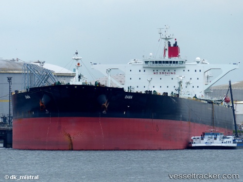
 Daba
Daba
Current Status
Where is the vessel?
Daba is currently in 38 nm SW of Goudiniweg, based on AIS data received less than 1h ago.
Latest AIS update:
Current position: 35.13348° S, 18.88644° E (38 nm SW of Goudiniweg)
Average speed (last 7 days): Loading…
Average speed (last 30 days): Loading…
Vessel profile: Daba is a Crude Oil Tanker with dimensions 333m x 333m.
This page combines live AIS, route history, probable destination signals, nearby traffic, and port activity for practical vessel monitoring.
The current position of vessel Daba is -35.13348 lat / 18.88644 lng. Updated: 2026-04-23 13:41:58 UTCNearest reference points:
- 15 nm SE of Moorreesburg
- 18 nm SW of Cape Of Good Hope
- Near Mitchells Plain
Currently sailing under the flag of Marshall Is ![]()
Daba built in 2012 year
Deadweight:
316373 tDetails:
Live Vessel Daba Analytics (details, animations, etc.)
Recent AIS points (UTC):
2026-04-23 10:29:52 UTC · -35.10901, 19.75916 · SOG 13.3 kn · COG 257°2026-04-23 12:21:16 UTC · -35.18010, 19.26223 · SOG 13.7 kn · COG 272°
2026-04-23 13:37:58 UTC · -35.13585, 18.90508 · SOG 13.8 kn · COG 279°
2026-04-23 13:41:58 UTC · -35.13348, 18.88644 · SOG 13.5 kn · COG 279°