 vesseltracker.com
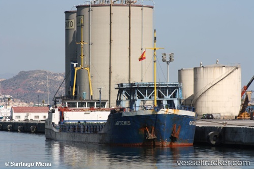
 GERDA S
Current Status
Where is the vessel?
GERDA S is currently in Near Gelibolu, based on AIS data received about 1d ago.
Latest AIS update:
Current position: 40.46179° N, 26.81620° E (Near Gelibolu)
Average speed (last 7 days): Loading…
Average speed (last 30 days): Loading…
Vessel profile: GERDA S is a General Cargo Ship with dimensions 79m x 79m.
This page combines live AIS, route history, probable destination signals, nearby traffic, and port activity for practical vessel monitoring.
The current position of vessel GERDA S is 40.46179 lat / 26.81620 lng. Updated: 2026-04-10 07:43:09 UTCNearest reference points:
- Near Sarköy
- Near Gelibolu
- Near Dardanelles
Currently sailing under the flag of Vanuatu ![]()
GERDA S built in 1984 year
Deadweight:
1498 tDetails:
Live Vessel GERDA S Analytics (details, animations, etc.)
Recent AIS points (UTC):
2026-04-10 02:05:06 UTC · 40.79167, 27.76500 · SOG 8 kn · COG -1°2026-04-10 03:10:17 UTC · 40.75040, 27.56336 · SOG 9.1 kn · COG -1°
2026-04-10 04:44:08 UTC · 40.64667, 27.29667 · SOG 7 kn · COG -1°
2026-04-10 07:43:09 UTC · 40.46179, 26.81620 · SOG 7 kn · COG 247°