 vesseltracker.com
Find the position of the vessel Harmony N on the map. The latter are known coordinates and path.
marine traffic ship tracker show on live map
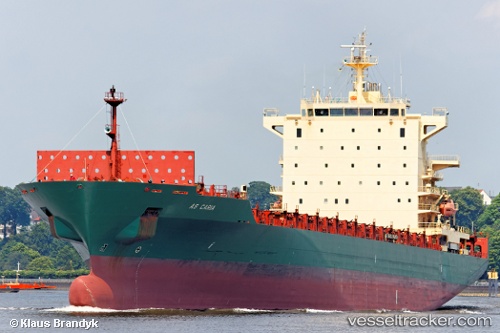
The current position of vessel Harmony N is 40.8383 lat / 29.2727 lng. Updated: 2025-07-13 08:50:37 UTCCurrently sailing under the flag of Liberia
Harmony N built in 2006 year
Deadweight:
39420 tDetails:
Last coordinates of the vessel:
UTC, 40.8383, 29.2728, course: 64, speed: 0UTC, 40.8383, 29.2727, course: 64, speed: 0
UTC, 40.8383, 29.2728, course: 64, speed: 0
2025-07-13 08:50:37 UTC, 40.8383, 29.2727, course: 64, speed: 0.1