 vesseltracker.com
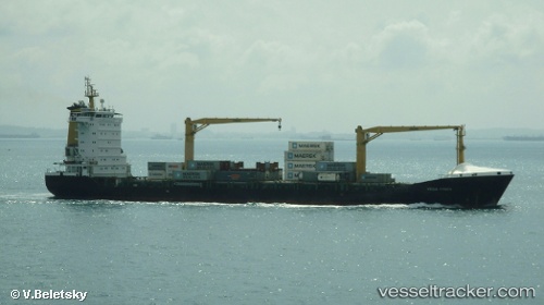
Vessel MSC OLGA F IMO: 9336359, MMSI: 636021017 Container Ship
UTC, 33.95554, 35.57574, course: 22, speed: 0.1
UTC, 33.95581, 35.57537, course: 40, speed: 0
2026-03-02 19:42:47 UTC, 33.95691, 35.57471, course: 86, speed: 0.1
Live AIS position:
UTC. Near Ad Dubayyah),
updated 2026-03-02 19:42:47 UTC.
Find the position of the vessel MSC OLGA F on the map. The latter are known coordinates and path.
marine traffic ship tracker show on live map
The current position of vessel MSC OLGA F is 33.95691 lat / 35.57471 lng. Updated: 2026-03-02 19:42:47 UTCCurrently sailing under the flag of Liberia
MSC OLGA F built in 2006 year
Deadweight:
13775 tDetails:
Last coordinates of the vessel:
UTC, 33.95535, 35.57646, course: 1, speed: 0UTC, 33.95554, 35.57574, course: 22, speed: 0.1
UTC, 33.95581, 35.57537, course: 40, speed: 0
2026-03-02 19:42:47 UTC, 33.95691, 35.57471, course: 86, speed: 0.1