 vesseltracker.com
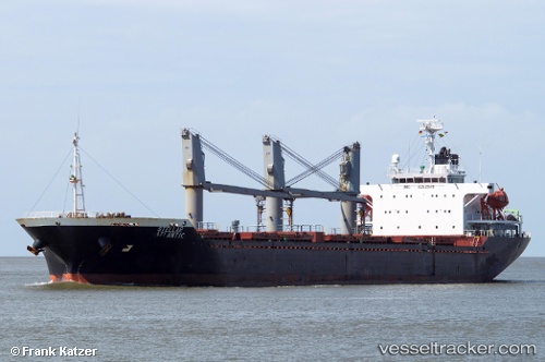
Find the position of the vessel NIMET TORLAK on the map. The latter are known coordinates and path.
marine traffic ship tracker show on live map
The current position of vessel NIMET TORLAK is 44.14699 lat / 28.65140 lng. Updated: 2025-10-24 03:40:02 UTCCurrently sailing under the flag of Liberia
NIMET TORLAK built in 2003 year
Deadweight:
18820 tDetails:
Last coordinates of the vessel:
UTC, 44.14702, 28.65141, course: 254, speed: 0UTC, 44.14698, 28.65139, course: 254, speed: 0
UTC, 44.14698, 28.65142, course: 254, speed: 0
2025-10-24 03:40:02 UTC, 44.14699, 28.65140, course: 254, speed: 0
Track of the vessel in the last 14 days
The ship also appears on the maps: