 vesseltracker.com
 NINA A
Current Status
Where is the vessel?
NINA A is currently in Near Küçükçekmece, based on AIS data received about 1h ago.
Latest AIS update:
Current position: 40.95712° N, 28.77283° E (Near Küçükçekmece)
Average speed (last 7 days): Loading…
Average speed (last 30 days): Loading…
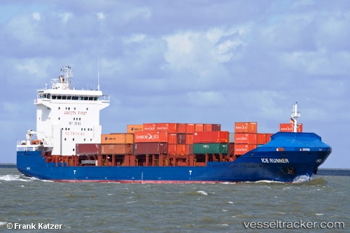
Vessel profile: NINA A is a Container Ship with dimensions 129m x 21m.
This page combines live AIS, route history, probable destination signals, nearby traffic, and port activity for practical vessel monitoring.
The current position of vessel NINA A is 40.95712 lat / 28.77283 lng. Updated: 2026-04-07 10:06:41 UTCNearest reference points:
- Near Kumport
- Near Küçükçekmece
- Near Ambarli
Currently sailing under the flag of Liberia ![]()
NINA A built in 2008 year
Deadweight:
8137 tDetails:
Live Vessel NINA A Analytics (details, animations, etc.)
Recent AIS points (UTC):
2026-04-07 03:57:52 UTC · 40.95956, 28.77350 · SOG 0 kn · COG 169°2026-04-07 05:45:51 UTC · 40.95857, 28.77250 · SOG 0.1 kn · COG 138°
2026-04-07 07:33:24 UTC · 40.95795, 28.77230 · SOG 0 kn · COG 55°
2026-04-07 10:06:41 UTC · 40.95712, 28.77283 · SOG 0 kn · COG 31°