 vesseltracker.com
 ELI A
ELI A
Current Status
Where is the vessel?
ELI A is currently in 141 nm W of Punta Lobitos, based on AIS data received about 61d ago.
Latest AIS update:
Current position: 10.59787° S, 80.51945° W (141 nm W of Punta Lobitos)
Average speed (last 7 days): Loading…
Average speed (last 30 days): Loading…
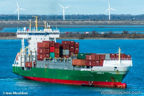
Vessel profile: ELI A is a Container Ship with dimensions 134m x 22m.
This page combines live AIS, route history, probable destination signals, nearby traffic, and port activity for practical vessel monitoring.
The current position of vessel ELI A is -10.59787 lat / -80.51945 lng. Updated: 2026-02-03 22:01:08 UTCNearest reference points:
- 81 nm SW of Chimbote
- 125 nm SW of Supe Bay
- 43 nm SW of Barranca
Currently sailing under the flag of Liberia ![]()
ELI A built in 2005 year
Deadweight:
11403 tDetails:
Live Vessel ELI A Analytics (details, animations, etc.)
Recent AIS points (UTC):
2026-02-03 22:01:08 UTC · -10.59787, -80.51945 · SOG 67 kn · COG -1°