 vesseltracker.com
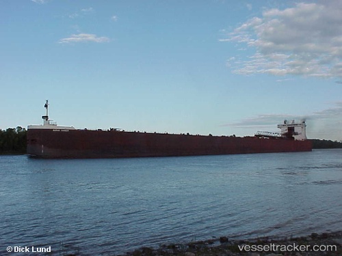
 BURNS HARBOR
Current Status
Where is the vessel?
BURNS HARBOR is currently in 15 nm NW of Calumet, based on AIS data received less than 1h ago.
Latest AIS update:
Current position: 47.45321° N, 88.63730° W (15 nm NW of Calumet)
Average speed (last 7 days): Loading…
Average speed (last 30 days): Loading…
Vessel profile: BURNS HARBOR is a Self Discharging Bulk Carrier with dimensions m x m.
This page combines live AIS, route history, probable destination signals, nearby traffic, and port activity for practical vessel monitoring.
The current position of vessel BURNS HARBOR is 47.45321 lat / -88.63730 lng. Updated: 2026-04-30 19:40:47 UTCNearest reference points:
- Near La Pointe
Currently sailing under the flag of United States ![]()
Details:
Live Vessel BURNS HARBOR Analytics (details, animations, etc.)
Recent AIS points (UTC):
2026-04-30 16:23:05 UTC · 47.49335, -87.65799 · SOG 12.3 kn · COG 286°2026-04-30 18:03:56 UTC · 47.52149, -88.15513 · SOG 12.3 kn · COG 262°
2026-04-30 19:35:45 UTC · 47.45684, -88.61243 · SOG 12.4 kn · COG 258°
2026-04-30 19:40:47 UTC · 47.45321, -88.63730 · SOG 12.4 kn · COG 257°