 vesseltracker.com
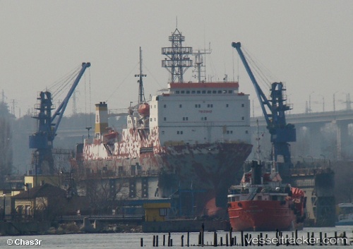
 KHODR BEY
Current Status
Where is the vessel?
KHODR BEY is currently in 18 nm SE of TASUCU, based on AIS data received less than 1h ago.
Latest AIS update:
Current position: 36.07162° N, 34.11369° E (18 nm SE of TASUCU)
Average speed (last 7 days): Loading…
Average speed (last 30 days): Loading…
Vessel profile: KHODR BEY is a Ro-Ro/Passenger Ship with dimensions m x m.
This page combines live AIS, route history, probable destination signals, nearby traffic, and port activity for practical vessel monitoring.
The current position of vessel KHODR BEY is 36.07162 lat / 34.11369 lng. Updated: 2026-05-15 04:01:55 UTCNearest reference points:
- 15 nm SW of Yesilovacik
- 20 nm SW of Yesilovacik
- Near Mersin
Currently sailing under the flag of Lebanon ![]()
Details:
Live Vessel KHODR BEY Analytics (details, animations, etc.)
Recent AIS points (UTC):
2026-05-14 21:55:20 UTC · 36.31316, 33.89134 · SOG 0 kn · COG 323°2026-05-14 21:55:20 UTC · 36.31316, 33.89134 · SOG 0 kn · COG 323°
2026-05-15 00:52:24 UTC · 36.31316, 33.89133 · SOG 0.1 kn · COG 187°
2026-05-15 04:01:55 UTC · 36.07162, 34.11369 · SOG 8.8 kn · COG 126°