 vesseltracker.com
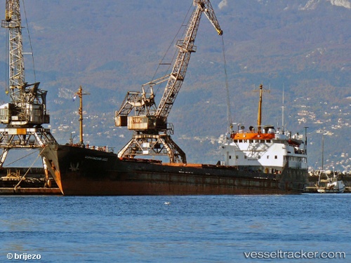
Belfast
Current StatusWhere is the vessel?
Belfast is currently in 11 nm S of Taganrog, based on AIS data received about 1h ago.
Latest AIS update:
Current position: 47.02309° N, 38.87929° E (11 nm S of Taganrog)
Average speed (last 7 days): Loading…
Average speed (last 30 days): Loading…
Vessel profile: Belfast is a General Cargo Ship with dimensions 13m x 114m.
This page combines live AIS, route history, probable destination signals, nearby traffic, and port activity for practical vessel monitoring.
The current position of vessel Belfast is 47.02309 lat / 38.87929 lng. Updated: 2026-03-30 15:42:23 UTCNearest reference points:
- 16 nm S of Taganrog
- 18 nm SW of Taganrog
- 19 nm SW of Taganrog
Details:
Live Vessel Belfast Analytics (details, animations, etc.)
Recent AIS points (UTC):
2026-03-30 09:19:18 UTC · 46.95409, 38.09808 · SOG 7.5 kn · COG 63°2026-03-30 11:54:07 UTC · 47.00384, 38.55129 · SOG 7.5 kn · COG 87°
2026-03-30 13:41:38 UTC · 47.05216, 38.82815 · SOG 7.2 kn · COG 126°
2026-03-30 15:42:23 UTC · 47.02309, 38.87929 · SOG 0.4 kn · COG 261°