 vesseltracker.com
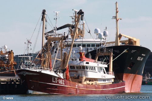
 Uk161 Hendrik Brands
Current Status
Where is the vessel?
Uk161 Hendrik Brands is currently in Near Wilhelmshaven, based on AIS data received about 1d ago.
Latest AIS update:
Current position: 53.51225° N, 8.14892° E (Near Wilhelmshaven)
Average speed (last 7 days): Loading…
Average speed (last 30 days): Loading…
Vessel profile: Uk161 Hendrik Brands is a Fishing Vessel with dimensions 38m x 38m.
This page combines live AIS, route history, probable destination signals, nearby traffic, and port activity for practical vessel monitoring.
The current position of vessel Uk161 Hendrik Brands is 53.51225 lat / 8.14892 lng. Updated: 2026-04-22 17:41:08 UTCNearest reference points:
- Near Wilhelmshaven
- Near HOOKSIEL
- Near Horumersiel
Currently sailing under the flag of Netherlands ![]()
Uk161 Hendrik Brands built in 1984 year
Details:
Live Vessel Uk161 Hendrik Brands Analytics (details, animations, etc.)
Recent AIS points (UTC):
2026-04-22 17:41:08 UTC · 53.51225, 8.14892 · SOG 1.4 kn · COG 97°2026-04-22 17:41:08 UTC · 53.51225, 8.14892 · SOG 1.4 kn · COG 97°
2026-04-22 17:41:08 UTC · 53.51225, 8.14892 · SOG 1.4 kn · COG 97°
2026-04-22 17:41:08 UTC · 53.51225, 8.14892 · SOG 1.4 kn · COG 97°
2026-04-22 17:41:08 UTC · 53.51225, 8.14892 · SOG 1.4 kn · COG 97°