 vesseltracker.com
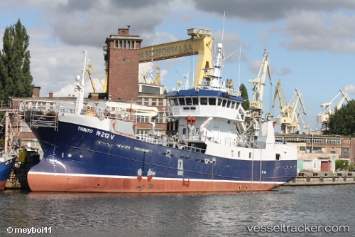
 Baaragutt
Current Status
Where is the vessel?
Baaragutt is currently in 15 nm NW of Vardo, based on AIS data received about 1h ago.
Latest AIS update:
Current position: 70.59611° N, 30.74238° E (15 nm NW of Vardo)
Average speed (last 7 days): Loading…
Average speed (last 30 days): Loading…
Vessel profile: Baaragutt is a Fishing Vessel with dimensions 44m x 9m.
This page combines live AIS, route history, probable destination signals, nearby traffic, and port activity for practical vessel monitoring.
The current position of vessel Baaragutt is 70.59611 lat / 30.74238 lng. Updated: 2026-05-12 19:50:58 UTCNearest reference points:
- Near BATSFJORD
- Near Bugøynes
- Near Ozerko
Currently sailing under the flag of Norway ![]()
Baaragutt built in 1987 year
Details:
Live Vessel Baaragutt Analytics (details, animations, etc.)
Recent AIS points (UTC):
2026-05-12 16:25:52 UTC · 70.84174, 29.62497 · SOG 8.6 kn · COG 118°2026-05-12 17:43:51 UTC · 70.75975, 30.06117 · SOG 2.9 kn · COG 48°
2026-05-12 19:42:51 UTC · 70.61033, 30.70927 · SOG 8 kn · COG 127°
2026-05-12 19:50:58 UTC · 70.59611, 30.74238 · SOG 8.3 kn · COG 145°