 vesseltracker.com
 SYROS WIND
Current Status
Where is the vessel?
SYROS WIND is currently in Near Diamond, based on AIS data received about 1h ago.
Latest AIS update:
Current position: 6.70667° N, 58.19500° W (Near Diamond)
Average speed (last 7 days): Loading…
Average speed (last 30 days): Loading…
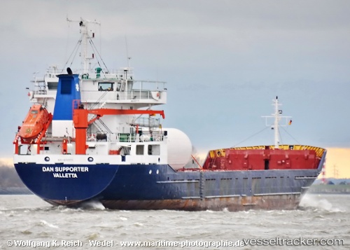
Vessel profile: SYROS WIND is a General Cargo Ship with dimensions 16m x 87m.
This page combines live AIS, route history, probable destination signals, nearby traffic, and port activity for practical vessel monitoring.
The current position of vessel SYROS WIND is 6.70667 lat / -58.19500 lng. Updated: 2026-05-14 22:01:13 UTCNearest reference points:
- 57 nm NE of Adventure
- 38 nm NW of Jarikaba
Currently sailing under the flag of St Vincent and Grenadines ![]()
SYROS WIND built in 1987 year
Deadweight:
3173 tDetails:
Live Vessel SYROS WIND Analytics (details, animations, etc.)
Recent AIS points (UTC):
2026-05-14 19:13:14 UTC · 6.70500, -58.19333 · SOG 0 kn · COG -1°2026-05-14 20:18:05 UTC · 6.70595, -58.19520 · SOG 0.2 kn · COG 22°
2026-05-14 21:19:12 UTC · 6.70667, -58.19500 · SOG 0 kn · COG -1°
2026-05-14 22:01:13 UTC · 6.70667, -58.19500 · SOG 0 kn · COG -1°