 vesseltracker.com
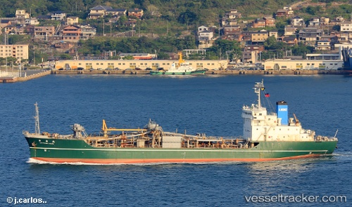
 Mv.mandraguna
Current Status
Where is the vessel?
Mv.mandraguna is currently in 54 nm NE of BIMA, based on AIS data received about 1h ago.
Latest AIS update:
Current position: 7.62500° S, 119.10333° E (54 nm NE of BIMA)
Average speed (last 7 days): Loading…
Average speed (last 30 days): Loading…
Vessel profile: Mv.mandraguna is a Cement Carrier with dimensions 111m x 111m.
This page combines live AIS, route history, probable destination signals, nearby traffic, and port activity for practical vessel monitoring.
The current position of vessel Mv.mandraguna is -7.62500 lat / 119.10333 lng. Updated: 2026-04-25 16:16:16 UTCNearest reference points:
- 30 nm N of BIMA
- Near Panakukang
- 12 nm W of Panakukang
Currently sailing under the flag of Indonesia ![]()
Details:
Live Vessel Mv.mandraguna Analytics (details, animations, etc.)
Recent AIS points (UTC):
2026-04-25 13:37:18 UTC · -7.34500, 118.75333 · SOG 10 kn · COG -1°2026-04-25 14:01:17 UTC · -7.38833, 118.80667 · SOG 9 kn · COG -1°
2026-04-25 16:04:18 UTC · -7.60500, 119.07667 · SOG 10 kn · COG -1°
2026-04-25 16:16:16 UTC · -7.62500, 119.10333 · SOG 10 kn · COG -1°