 vesseltracker.com
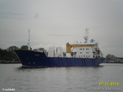
 CARTEN ELINA
Current Status
Where is the vessel?
CARTEN ELINA is currently in Near Damsgård, based on AIS data received about 1h ago.
Latest AIS update:
Current position: 60.38460° N, 5.31593° E (Near Damsgård)
Average speed (last 7 days): Loading…
Average speed (last 30 days): Loading…
Vessel profile: CARTEN ELINA is a Pallet Carrier with dimensions m x m.
This page combines live AIS, route history, probable destination signals, nearby traffic, and port activity for practical vessel monitoring.
The current position of vessel CARTEN ELINA is 60.38460 lat / 5.31593 lng. Updated: 2026-05-16 14:05:34 UTCNearest reference points:
- Near Damsgård
- Near Bergen
- Near Skålevik
Currently sailing under the flag of Norway ![]()
Details:
Live Vessel CARTEN ELINA Analytics (details, animations, etc.)
Recent AIS points (UTC):
2026-05-16 10:03:54 UTC · 60.03257, 5.33361 · SOG 11.6 kn · COG 355°2026-05-16 12:22:34 UTC · 60.39645, 5.22316 · SOG 10.8 kn · COG 57°
2026-05-16 13:59:34 UTC · 60.38457, 5.31596 · SOG 0 kn · COG 310°
2026-05-16 14:05:34 UTC · 60.38460, 5.31593 · SOG 0.1 kn · COG 310°