 vesseltracker.com
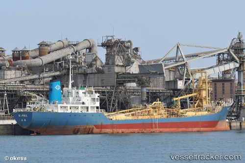
 ROYAL PEACE
Current Status
Where is the vessel?
ROYAL PEACE is currently in 20 nm NW of Krueng Geukueh, based on AIS data received about 12h ago.
Latest AIS update:
Current position: 5.46533° N, 96.77117° E (20 nm NW of Krueng Geukueh)
Average speed (last 7 days): Loading…
Average speed (last 30 days): Loading…
Vessel profile: ROYAL PEACE is a Cement Carrier with dimensions 16m x 113m.
This page combines live AIS, route history, probable destination signals, nearby traffic, and port activity for practical vessel monitoring.
The current position of vessel ROYAL PEACE is 5.46533 lat / 96.77117 lng. Updated: 2026-05-14 21:15:42 UTCNearest reference points:
- 45 nm NE of Krueng Geukueh
- 34 nm N of Langsa Venture FPSO
- 45 nm N of Langsa Venture FPSO
Currently sailing under the flag of Indonesia ![]()
ROYAL PEACE built in 1988 year
Deadweight:
6725 tDetails:
Live Vessel ROYAL PEACE Analytics (details, animations, etc.)
Recent AIS points (UTC):
2026-05-14 19:31:23 UTC · 5.42156, 97.04009 · SOG 9.6 kn · COG 281°2026-05-14 21:15:42 UTC · 5.46533, 96.77117 · SOG 9.4 kn · COG 284°
2026-05-14 21:15:42 UTC · 5.46533, 96.77117 · SOG 9.4 kn · COG 284°
2026-05-14 21:15:42 UTC · 5.46533, 96.77117 · SOG 9.4 kn · COG 284°