 vesseltracker.com
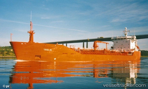
 Manitoulin
Current Status
Where is the vessel?
Manitoulin is currently in Near De Tour Village, based on AIS data received less than 1h ago.
Latest AIS update:
Current position: 45.98577° N, 83.87967° W (Near De Tour Village)
Average speed (last 7 days): Loading…
Average speed (last 30 days): Loading…
Vessel profile: Manitoulin is a Self Discharging Bulk Carrier with dimensions 203m x 24m.
This page combines live AIS, route history, probable destination signals, nearby traffic, and port activity for practical vessel monitoring.
The current position of vessel Manitoulin is 45.98577 lat / -83.87967 lng. Updated: 2026-05-13 06:26:55 UTCNearest reference points:
- Near Meldrum
- Near Mackinaw City
Currently sailing under the flag of Canada ![]()
Manitoulin built in 1991 year
Deadweight:
14986 tDetails:
Live Vessel Manitoulin Analytics (details, animations, etc.)
Recent AIS points (UTC):
2026-05-13 01:49:12 UTC · 45.98500, -83.87833 · SOG 0 kn · COG -1°2026-05-13 04:15:04 UTC · 45.98577, -83.87968 · SOG 0 kn · COG 179°
2026-05-13 04:53:34 UTC · 45.98577, -83.87968 · SOG 0 kn · COG 179°
2026-05-13 06:26:55 UTC · 45.98577, -83.87967 · SOG 0 kn · COG 179°