 vesseltracker.com
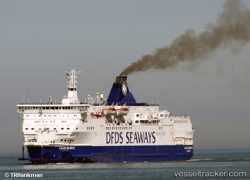
 ISLE OF INNISFREE
Current Status
Where is the vessel?
ISLE OF INNISFREE is currently in Near WEXFORD, based on AIS data received about 1h ago.
Latest AIS update:
Current position: 52.25378° N, 6.33732° W (Near WEXFORD)
Average speed (last 7 days): Loading…
Average speed (last 30 days): Loading…
Vessel profile: ISLE OF INNISFREE is a Passenger/Ro-Ro Ship (vehicles) with dimensions 162m x 34m.
This page combines live AIS, route history, probable destination signals, nearby traffic, and port activity for practical vessel monitoring.
The current position of vessel ISLE OF INNISFREE is 52.25378 lat / -6.33732 lng. Updated: 2026-05-14 19:50:15 UTCNearest reference points:
- Near WEXFORD
- Near ARKLOW
- Near WICKLOW
Currently sailing under the flag of Cyprus ![]()
ISLE OF INNISFREE built in 1992 year
Deadweight:
3832 tDetails:
Live Vessel ISLE OF INNISFREE Analytics (details, animations, etc.)
Recent AIS points (UTC):
2026-05-14 16:32:22 UTC · 51.66728, -5.18443 · SOG 17.5 kn · COG 277°2026-05-14 18:10:25 UTC · 52.01264, -5.84148 · SOG 19.3 kn · COG 309°
2026-05-14 19:10:38 UTC · 52.22333, -6.21829 · SOG 18.7 kn · COG 308°
2026-05-14 19:50:15 UTC · 52.25378, -6.33732 · SOG 0 kn · COG 147°