 vesseltracker.com
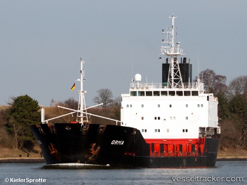
 BOB
BOB
Current Status
Where is the vessel?
BOB is currently in Near Mersin-Free Zone, based on AIS data received about 1h ago.
Latest AIS update:
Current position: 36.80520° N, 34.64996° E (Near Mersin-Free Zone)
Average speed (last 7 days): Loading…
Average speed (last 30 days): Loading…
Vessel profile: BOB is a General Cargo with dimensions m x m.
This page combines live AIS, route history, probable destination signals, nearby traffic, and port activity for practical vessel monitoring.
The current position of vessel BOB is 36.80520 lat / 34.64996 lng. Updated: 2026-04-28 14:17:21 UTCNearest reference points:
- Near Mersin-Free Zone
- Near Mersin
- Near YUMURTALIC
Currently sailing under the flag of Togo ![]()
Details:
Live Vessel BOB Analytics (details, animations, etc.)
Recent AIS points (UTC):
2026-04-28 10:09:41 UTC · 36.80523, 34.65003 · SOG 0 kn · COG 8°2026-04-28 11:54:41 UTC · 36.80517, 34.65000 · SOG 0 kn · COG 4°
2026-04-28 13:00:44 UTC · 36.80530, 34.64998 · SOG 0 kn · COG 5°
2026-04-28 14:17:21 UTC · 36.80520, 34.64996 · SOG 0 kn · COG 7°