 vesseltracker.com
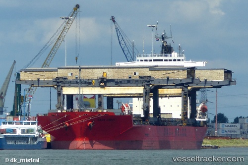
 SAGA CREST
Current Status
Where is the vessel?
SAGA CREST is currently in 92 nm W of Gulfmex Lightering Area, based on AIS data received less than 1h ago.
Latest AIS update:
Current position: 27.81253° N, 92.56372° W (92 nm W of Gulfmex Lightering Area)
Average speed (last 7 days): Loading…
Average speed (last 30 days): Loading…
Vessel profile: SAGA CREST is a General Cargo with dimensions m x m.
This page combines live AIS, route history, probable destination signals, nearby traffic, and port activity for practical vessel monitoring.
The current position of vessel SAGA CREST is 27.81253 lat / -92.56372 lng. Updated: 2026-05-14 13:25:51 UTCNearest reference points:
- 97 nm W of Gulfmex Lightering Area
- 83 nm W of Gulfmex Lightering Area
- 66 nm NW of Gulfmex Lightering Area
Currently sailing under the flag of Bahamas ![]()
Details:
Live Vessel SAGA CREST Analytics (details, animations, etc.)
Recent AIS points (UTC):
2026-05-14 11:17:08 UTC · 28.20335, -92.87377 · SOG 13.6 kn · COG 140°2026-05-14 11:42:31 UTC · 28.12731, -92.80841 · SOG 13.4 kn · COG 140°
2026-05-14 13:09:41 UTC · 27.85962, -92.60501 · SOG 13.5 kn · COG 149°
2026-05-14 13:25:51 UTC · 27.81253, -92.56372 · SOG 13.3 kn · COG 137°