 vesseltracker.com
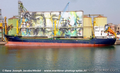
 RECEP KURU
Current Status
Where is the vessel?
RECEP KURU is currently in 18 nm S of CESME, based on AIS data received about 2h ago.
Latest AIS update:
Current position: 38.03283° N, 26.34310° E (18 nm S of CESME)
Average speed (last 7 days): Loading…
Average speed (last 30 days): Loading…
Vessel profile: RECEP KURU is a General Cargo Ship with dimensions 99m x 14m.
This page combines live AIS, route history, probable destination signals, nearby traffic, and port activity for practical vessel monitoring.
The current position of vessel RECEP KURU is 38.03283 lat / 26.34310 lng. Updated: 2026-03-30 09:22:41 UTCNearest reference points:
- Near CESME
- Near FOURNI
- 13 nm NW of Karkinagri Ikarias
Currently sailing under the flag of Panama ![]()
RECEP KURU built in 1994 year
Deadweight:
5048 tDetails:
Live Vessel RECEP KURU Analytics (details, animations, etc.)
Recent AIS points (UTC):
2026-03-30 03:38:26 UTC · 38.92959, 25.96914 · SOG 9.9 kn · COG 157°2026-03-30 06:25:42 UTC · 38.49571, 26.17503 · SOG 9.9 kn · COG 172°
2026-03-30 07:49:13 UTC · 38.26930, 26.22020 · SOG 9.5 kn · COG 182°
2026-03-30 09:22:41 UTC · 38.03283, 26.34310 · SOG 9.8 kn · COG 155°