 vesseltracker.com
 Imi
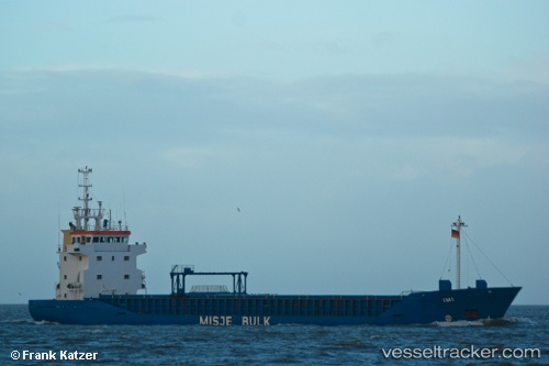
Imi
Current Status
Where is the vessel?
Imi is currently in Near ZEYTINBURNU, based on AIS data received about 1h ago.
Latest AIS update:
Current position: 40.96724° N, 28.90102° E (Near ZEYTINBURNU)
Average speed (last 7 days): Loading…
Average speed (last 30 days): Loading…
Vessel profile: Imi is a Multi Purpose Carrier with dimensions 90m x 13m.
This page combines live AIS, route history, probable destination signals, nearby traffic, and port activity for practical vessel monitoring.
The current position of vessel Imi is 40.96724 lat / 28.90102 lng. Updated: 2026-03-29 23:39:52 UTCNearest reference points:
- Near ZEYTINBURNU
- Near BAKIRKOY
- Near Davutpasa
Currently sailing under the flag of Bahamas ![]()
Imi built in 1993 year
Deadweight:
4293 tDetails:
Live Vessel Imi Analytics (details, animations, etc.)
Recent AIS points (UTC):
2026-03-29 17:42:47 UTC · 40.96715, 28.90100 · SOG 0.1 kn · COG 252°2026-03-29 19:45:48 UTC · 40.96707, 28.90107 · SOG 0.1 kn · COG 261°
2026-03-29 22:21:51 UTC · 40.96698, 28.90105 · SOG 0.1 kn · COG 260°
2026-03-29 23:39:52 UTC · 40.96724, 28.90102 · SOG 0 kn · COG 246°