 vesseltracker.com
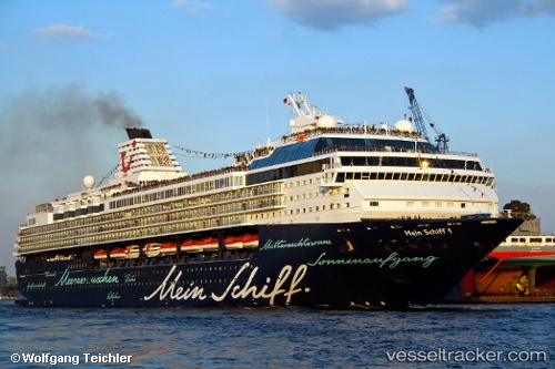
 Marella Explorer
Current Status
Where is the vessel?
Marella Explorer is currently in Near ST GEORGES, based on AIS data received about 3h ago.
Latest AIS update:
Current position: 12.05198° N, 61.75668° W (Near ST GEORGES)
Average speed (last 7 days): Loading…
Average speed (last 30 days): Loading…
Vessel profile: Marella Explorer is a Cruise Ship with dimensions 262m x 32m.
This page combines live AIS, route history, probable destination signals, nearby traffic, and port activity for practical vessel monitoring.
The current position of vessel Marella Explorer is 12.05198 lat / -61.75668 lng. Updated: 2026-03-26 17:39:27 UTCNearest reference points:
- Near St. Georges
- Near ST GEORGES
- 16 nm SW of Carriacou Apt
Currently sailing under the flag of Malta ![]()
Marella Explorer built in 1996 year
Deadweight:
6500 tDetails:
Live Vessel Marella Explorer Analytics (details, animations, etc.)
Recent AIS points (UTC):
2026-03-26 12:07:54 UTC · 12.05195, -61.75668 · SOG 0 kn · COG 125°2026-03-26 14:13:40 UTC · 12.05193, -61.75668 · SOG 0 kn · COG 125°
2026-03-26 16:20:58 UTC · 12.05197, -61.75672 · SOG 0 kn · COG 125°
2026-03-26 17:39:27 UTC · 12.05198, -61.75668 · SOG 0 kn · COG 125°