 vesseltracker.com
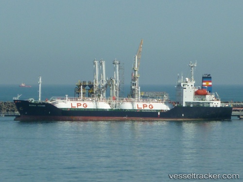
 GAS PARROT
Current Status
Where is the vessel?
GAS PARROT is currently in Near Pulau Indah, based on AIS data received less than 1h ago.
Latest AIS update:
Current position: 2.79432° N, 101.31466° E (Near Pulau Indah)
Average speed (last 7 days): Loading…
Average speed (last 30 days): Loading…
Vessel profile: GAS PARROT is a Lpg Tanker with dimensions m x m.
This page combines live AIS, route history, probable destination signals, nearby traffic, and port activity for practical vessel monitoring.
The current position of vessel GAS PARROT is 2.79432 lat / 101.31466 lng. Updated: 2026-04-24 20:03:52 UTCNearest reference points:
- Near Pulau Indah
- Near Carey Island Estate
- Near Banting
Details:
Live Vessel GAS PARROT Analytics (details, animations, etc.)
Recent AIS points (UTC):
2026-04-24 16:51:52 UTC · 2.79345, 101.31561 · SOG 0.1 kn · COG 341°2026-04-24 17:51:52 UTC · 2.79341, 101.31535 · SOG 0.1 kn · COG 2°
2026-04-24 19:45:51 UTC · 2.79422, 101.31468 · SOG 0.1 kn · COG 97°
2026-04-24 20:03:52 UTC · 2.79432, 101.31466 · SOG 0.1 kn · COG 106°