 vesseltracker.com
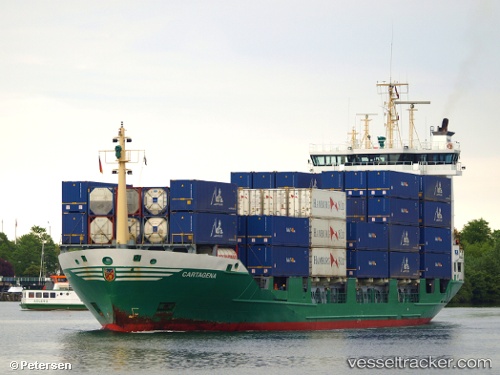
Viet Thuan Sky
Current StatusWhere is the vessel?
Viet Thuan Sky is currently in Near Hon La Port, based on AIS data received about 3h ago.
Latest AIS update:
Current position: 17.93667° N, 106.51833° E (Near Hon La Port)
Average speed (last 7 days): Loading…
Average speed (last 30 days): Loading…
Vessel profile: Viet Thuan Sky is a Bulk Carrier with dimensions 31m x 186m.
This page combines live AIS, route history, probable destination signals, nearby traffic, and port activity for practical vessel monitoring.
The current position of vessel Viet Thuan Sky is 17.93667 lat / 106.51833 lng. Updated: 2026-05-16 16:10:20 UTCNearest reference points:
- 61 nm E of Hon La Port
- 60 nm NE of Son Duong Port
- 48 nm NE of Cua Viet Port
Details:
Live Vessel Viet Thuan Sky Analytics (details, animations, etc.)
Recent AIS points (UTC):
2026-05-15 12:43:43 UTC · 17.93680, 106.52003 · SOG 0 kn · COG 318°2026-05-15 12:43:43 UTC · 17.93680, 106.52003 · SOG 0 kn · COG 318°
2026-05-16 16:10:20 UTC · 17.93667, 106.51833 · SOG 0 kn · COG -1°
2026-05-16 16:10:20 UTC · 17.93667, 106.51833 · SOG 0 kn · COG -1°