 vesseltracker.com
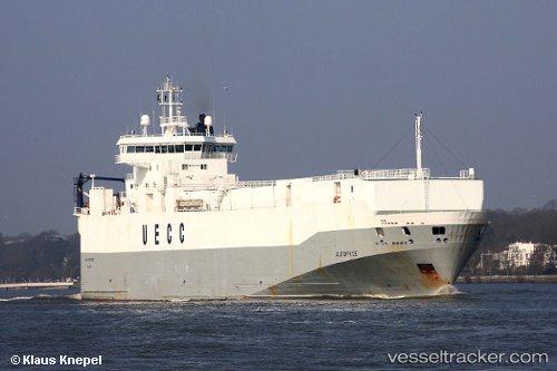
 MINCHAH
Current Status
Where is the vessel?
MINCHAH is currently in 52 nm SE of Fisher Island, Miami, based on AIS data received less than 1h ago.
Latest AIS update:
Current position: 25.18167° N, 79.42167° W (52 nm SE of Fisher Island, Miami)
Average speed (last 7 days): Loading…
Average speed (last 30 days): Loading…
Vessel profile: MINCHAH is a Vehicles Carrier with dimensions 18m x 125m.
This page combines live AIS, route history, probable destination signals, nearby traffic, and port activity for practical vessel monitoring.
The current position of vessel MINCHAH is 25.18167 lat / -79.42167 lng. Updated: 2026-05-15 05:38:41 UTCNearest reference points:
- 44 nm E of Surfside
- 44 nm S of Freeport
- 11 nm SE of Cutler Bay
Currently sailing under the flag of Panama ![]()
MINCHAH built in 1997 year
Deadweight:
4442 tDetails:
Live Vessel MINCHAH Analytics (details, animations, etc.)
Recent AIS points (UTC):
2026-05-14 23:28:44 UTC · 24.04833, -79.29833 · SOG 10 kn · COG -1°2026-05-15 03:53:26 UTC · 24.85167, -79.41167 · SOG 12 kn · COG -1°
2026-05-15 04:05:33 UTC · 24.89167, -79.41333 · SOG 11 kn · COG -1°
2026-05-15 05:38:41 UTC · 25.18167, -79.42167 · SOG 11 kn · COG -1°