 vesseltracker.com
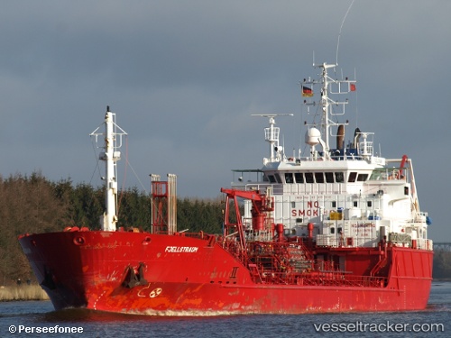
 GUARANA
Current Status
Where is the vessel?
GUARANA is currently in 69 nm SE of Lajes das Flores, based on AIS data received less than 1h ago.
Latest AIS update:
Current position: 38.37649° N, 30.44863° W (69 nm SE of Lajes das Flores)
Average speed (last 7 days): Loading…
Average speed (last 30 days): Loading…
Vessel profile: GUARANA is a Oil/Chemical Tanker with dimensions m x m.
This page combines live AIS, route history, probable destination signals, nearby traffic, and port activity for practical vessel monitoring.
The current position of vessel GUARANA is 38.37649 lat / -30.44863 lng. Updated: 2026-05-13 10:06:45 UTCCurrently sailing under the flag of Malta ![]()
Details:
Live Vessel GUARANA Analytics (details, animations, etc.)
Recent AIS points (UTC):
2026-05-12 11:14:30 UTC · 38.24039, -34.42506 · SOG 7.8 kn · COG -1°2026-05-12 11:14:30 UTC · 38.24039, -34.42506 · SOG 7.8 kn · COG -1°
2026-05-13 09:42:26 UTC · 38.37990, -30.51235 · SOG 7.7 kn · COG -1°
2026-05-13 10:06:45 UTC · 38.37649, -30.44863 · SOG 5.9 kn · COG -1°