 vesseltracker.com
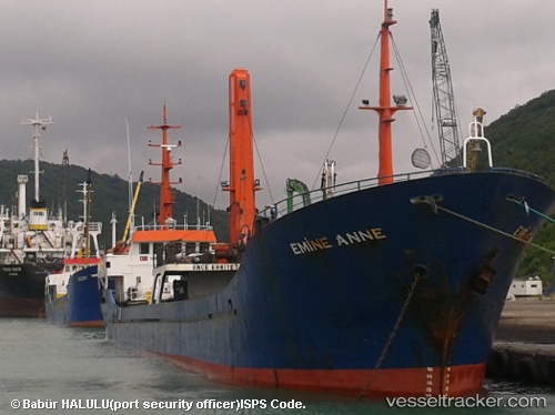
 Emine Anne
Current Status
Where is the vessel?
Emine Anne is currently in 16 nm SW of Maltepe, based on AIS data received about 2h ago.
Latest AIS update:
Current position: 40.67203° N, 28.93288° E (16 nm SW of Maltepe)
Average speed (last 7 days): Loading…
Average speed (last 30 days): Loading…
Vessel profile: Emine Anne is a General Cargo Ship with dimensions 69m x 9m.
This page combines live AIS, route history, probable destination signals, nearby traffic, and port activity for practical vessel monitoring.
The current position of vessel Emine Anne is 40.67203 lat / 28.93288 lng. Updated: 2026-05-15 01:00:59 UTCNearest reference points:
- 14 nm SW of Maltepe
- 17 nm S of Kumport
- 10 nm SE of Kumport
Currently sailing under the flag of Vanuatu ![]()
Emine Anne built in 1996 year
Deadweight:
1602 tDetails:
Live Vessel Emine Anne Analytics (details, animations, etc.)
Recent AIS points (UTC):
2026-05-14 21:37:40 UTC · 40.42806, 29.06830 · SOG 8.6 kn · COG 273°2026-05-14 22:42:10 UTC · 40.45441, 28.86670 · SOG 8.9 kn · COG 297°
2026-05-15 00:01:00 UTC · 40.58097, 28.79665 · SOG 8.2 kn · COG 50°
2026-05-15 01:00:59 UTC · 40.67203, 28.93288 · SOG 8.5 kn · COG 46°