 vesseltracker.com
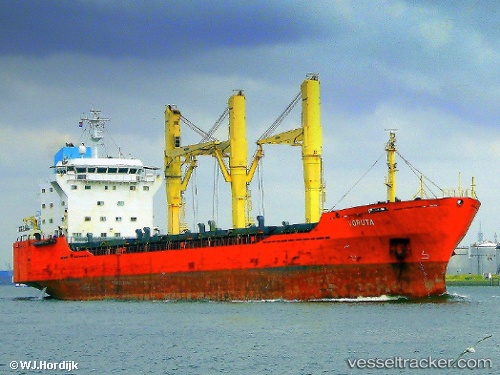
 ABILITY
Current Status
Where is the vessel?
ABILITY is currently in 117 nm NE of Pinelands, based on AIS data received about 17h ago.
Latest AIS update:
Current position: 35.23315° N, 20.25412° E (117 nm NE of Pinelands)
Average speed (last 7 days): Loading…
Average speed (last 30 days): Loading…
Vessel profile: ABILITY is a General Cargo Ship with dimensions 142m x 23m.
This page combines live AIS, route history, probable destination signals, nearby traffic, and port activity for practical vessel monitoring.
The current position of vessel ABILITY is 35.23315 lat / 20.25412 lng. Updated: 2026-03-26 06:21:15 UTCNearest reference points:
- 71 nm N of Pinelands
- 73 nm N of Pinelands
- 23 nm S of Methoni
Currently sailing under the flag of Panama ![]()
ABILITY built in 1998 year
Deadweight:
17789 tDetails:
Live Vessel ABILITY Analytics (details, animations, etc.)
Recent AIS points (UTC):
2026-03-26 05:56:12 UTC · 35.24524, 20.19485 · SOG 8.6 kn · COG -1°2026-03-26 06:21:15 UTC · 35.23315, 20.25412 · SOG 8.6 kn · COG -1°
2026-03-26 06:21:15 UTC · 35.23315, 20.25412 · SOG 8.6 kn · COG -1°
2026-03-26 06:21:15 UTC · 35.23315, 20.25412 · SOG 8.6 kn · COG -1°