 vesseltracker.com
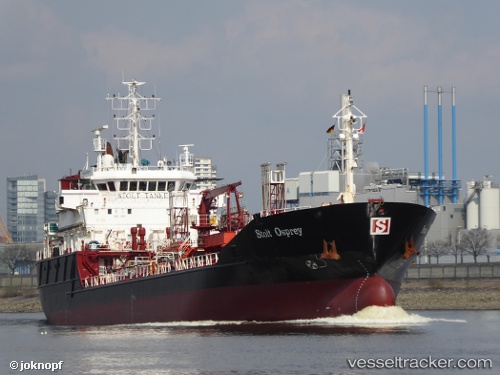
 THEIA
THEIA
Current Status
Where is the vessel?
THEIA is currently in Near Maasdijk, based on AIS data received about 3h ago.
Latest AIS update:
Current position: 51.95132° N, 4.16800° E (Near Maasdijk)
Average speed (last 7 days): Loading…
Average speed (last 30 days): Loading…
Vessel profile: THEIA is a Oil/Chemical Tanker with dimensions m x m.
This page combines live AIS, route history, probable destination signals, nearby traffic, and port activity for practical vessel monitoring.
The current position of vessel THEIA is 51.95132 lat / 4.16800 lng. Updated: 2026-05-13 05:39:39 UTCNearest reference points:
- Near HOEK VAN HOLLAND
- Near BRIELLE
- Near Maassluis
Currently sailing under the flag of Sierra Leone ![]()
Details:
Live Vessel THEIA Analytics (details, animations, etc.)
Recent AIS points (UTC):
2026-05-13 02:13:38 UTC · 51.90569, 3.47346 · SOG 0.1 kn · COG 269°2026-05-13 03:54:36 UTC · 51.96300, 3.69771 · SOG 10.8 kn · COG 70°
2026-05-13 04:07:14 UTC · 51.97507, 3.75940 · SOG 11.9 kn · COG 70°
2026-05-13 05:39:39 UTC · 51.95132, 4.16800 · SOG 10.1 kn · COG 131°