 vesseltracker.com
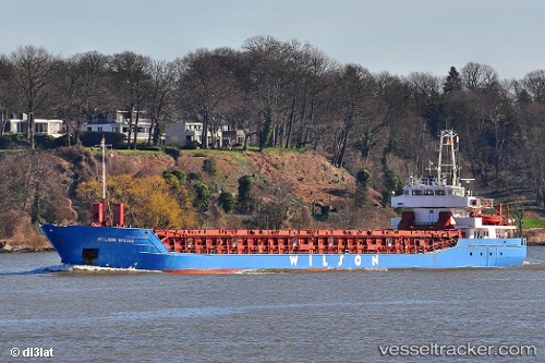
 WILSON BRUGGE
Current Status
Where is the vessel?
WILSON BRUGGE is currently in 33 nm NE of Cullen, based on AIS data received less than 1h ago.
Latest AIS update:
Current position: 58.17920° N, 3.25155° E (33 nm NE of Cullen)
Average speed (last 7 days): Loading…
Average speed (last 30 days): Loading…
Vessel profile: WILSON BRUGGE is a General Cargo with dimensions m x m.
This page combines live AIS, route history, probable destination signals, nearby traffic, and port activity for practical vessel monitoring.
The current position of vessel WILSON BRUGGE is 58.17920 lat / 3.25155 lng. Updated: 2026-05-15 09:12:51 UTCNearest reference points:
- Near Alba Oil Field
- 10 nm N of Leadon
- Near Storøya
Currently sailing under the flag of Bahamas ![]()
Details:
Live Vessel WILSON BRUGGE Analytics (details, animations, etc.)
Recent AIS points (UTC):
2026-05-15 05:30:26 UTC · 58.13649, 3.90516 · SOG 6.5 kn · COG 282°2026-05-15 05:30:26 UTC · 58.13649, 3.90516 · SOG 6.5 kn · COG 282°
2026-05-15 05:30:26 UTC · 58.13649, 3.90516 · SOG 6.5 kn · COG 282°
2026-05-15 09:12:51 UTC · 58.17920, 3.25155 · SOG 4.9 kn · COG 296°