 vesseltracker.com
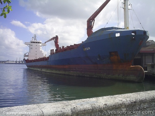
 San Pedro Calungsod
Current Status
Where is the vessel?
San Pedro Calungsod is currently in 114 nm NE of Port Royal, based on AIS data received less than 1h ago.
Latest AIS update:
Current position: 33.18667° N, 75.15333° W (114 nm NE of Port Royal)
Average speed (last 7 days): Loading…
Average speed (last 30 days): Loading…
Vessel profile: San Pedro Calungsod is a Container Ship with dimensions 130m x 25m.
This page combines live AIS, route history, probable destination signals, nearby traffic, and port activity for practical vessel monitoring.
The current position of vessel San Pedro Calungsod is 33.18667 lat / -75.15333 lng. Updated: 2026-05-15 04:06:38 UTCNearest reference points:
- Near Morehead City
- Near BEAUFORT
- Near HATTERAS
Currently sailing under the flag of Antigua Barbuda ![]()
Details:
Live Vessel San Pedro Calungsod Analytics (details, animations, etc.)
Recent AIS points (UTC):
2026-05-14 23:09:36 UTC · 34.32500, -75.06167 · SOG 13 kn · COG -1°2026-05-14 23:12:36 UTC · 34.31333, -75.06167 · SOG 13 kn · COG -1°
2026-05-15 03:54:38 UTC · 33.23500, -75.15167 · SOG 14 kn · COG -1°
2026-05-15 04:06:38 UTC · 33.18667, -75.15333 · SOG 14 kn · COG -1°